I had a relaxing sleep and woke up after 8:00. Today I have 30 km to go, so it won’t be a difficult day. The hotel also had a small cafeteria where I had a good breakfast: a croissant, orange juice and coffee.
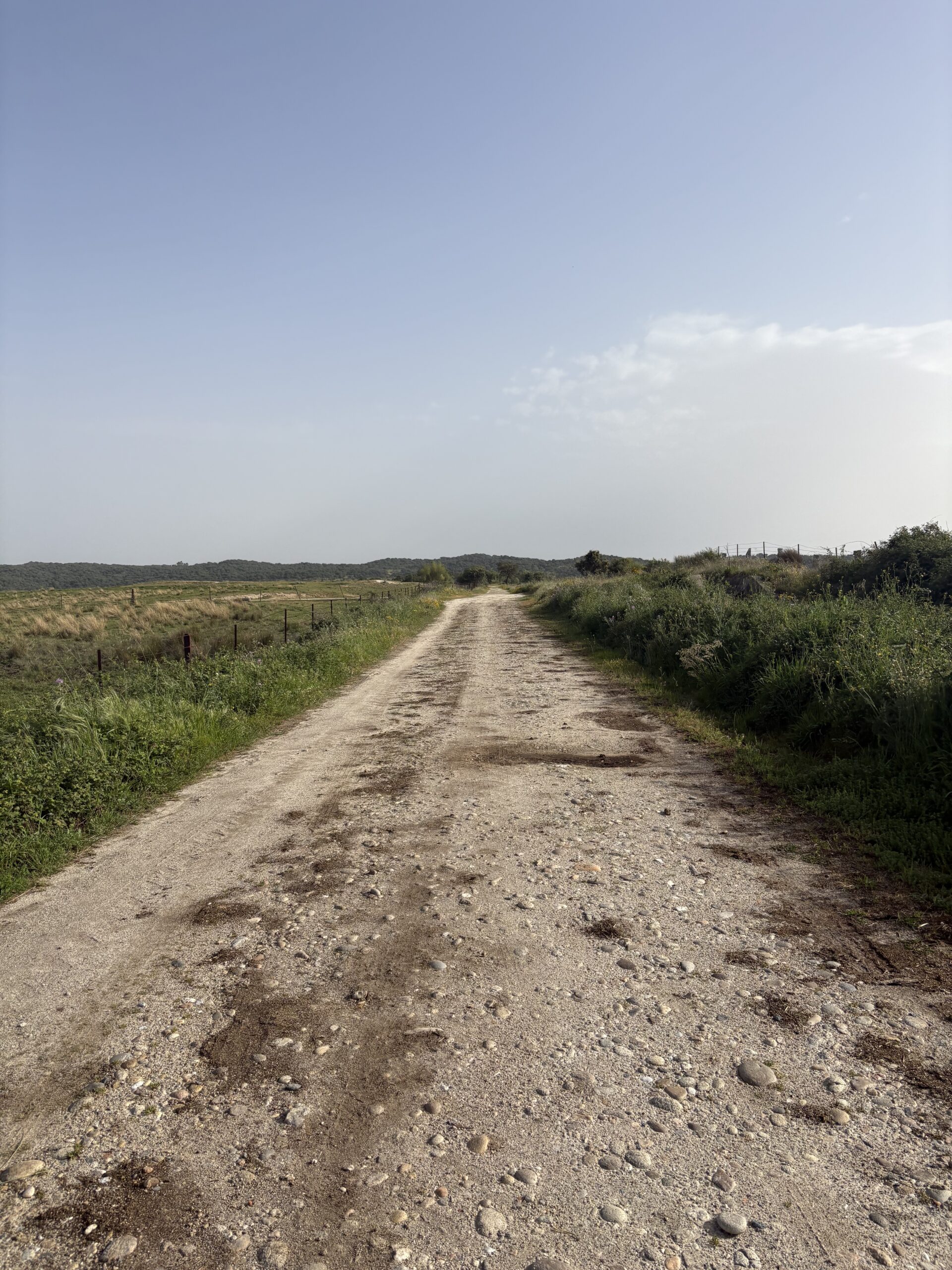
I left Carcaboso at around 9:00 and passed by some farms with cows. I missed one turn and realised it quite late, so I had to walk back about 1 km. The signs are more or less obvious along the trail, the usual yellow paintings and some cube-shaped milestones in Extremadura, but still, you need to pay attention. The trail is not as unmistakable as it is on the French or Portuguese routes.
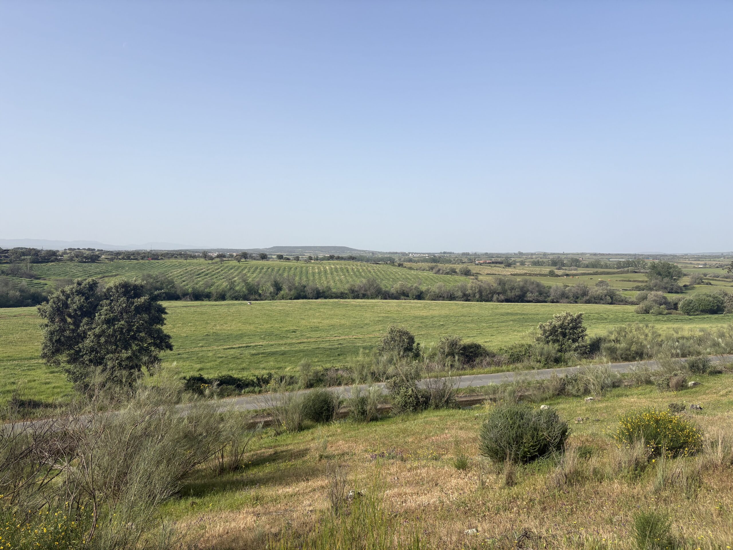
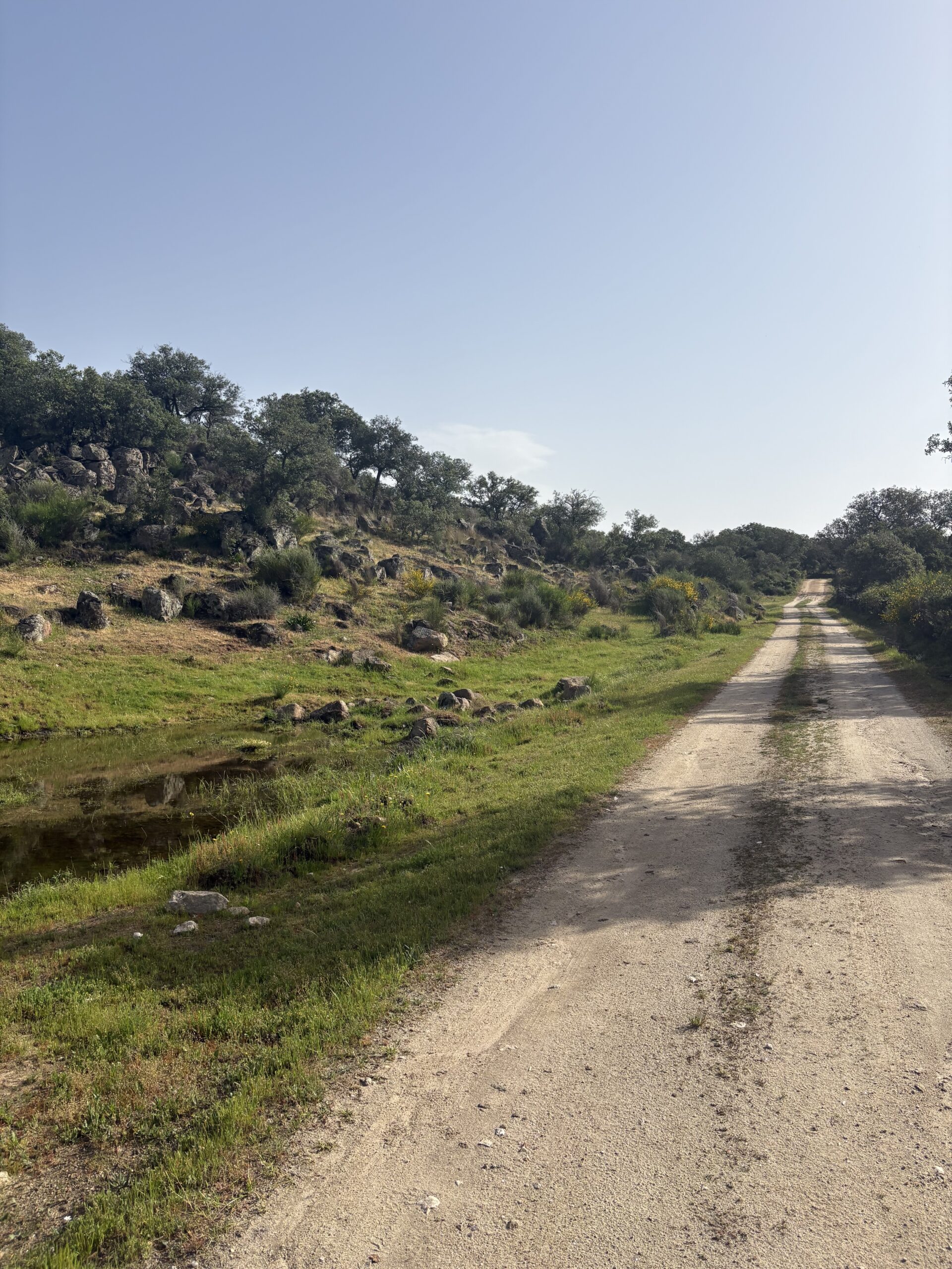
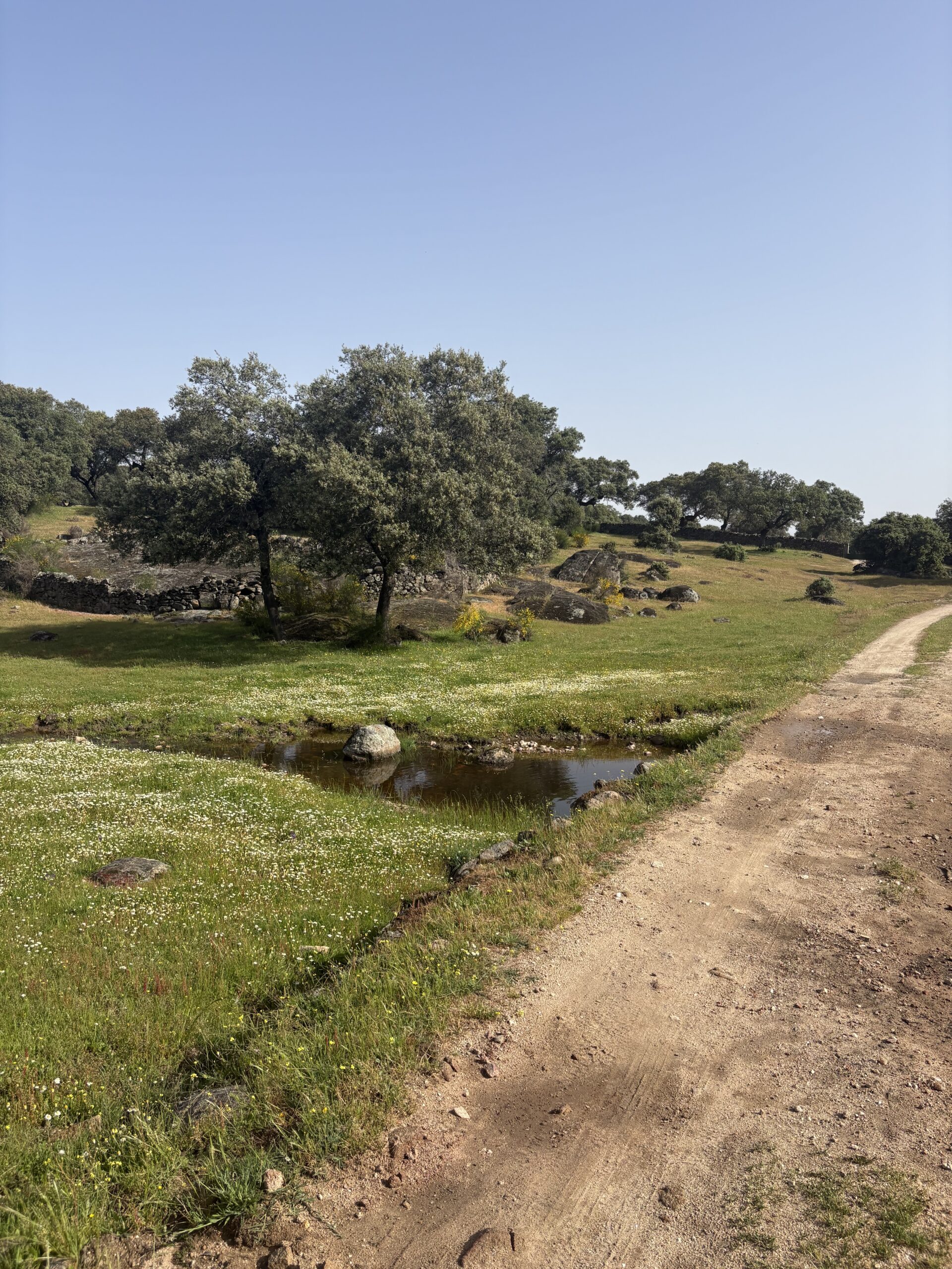
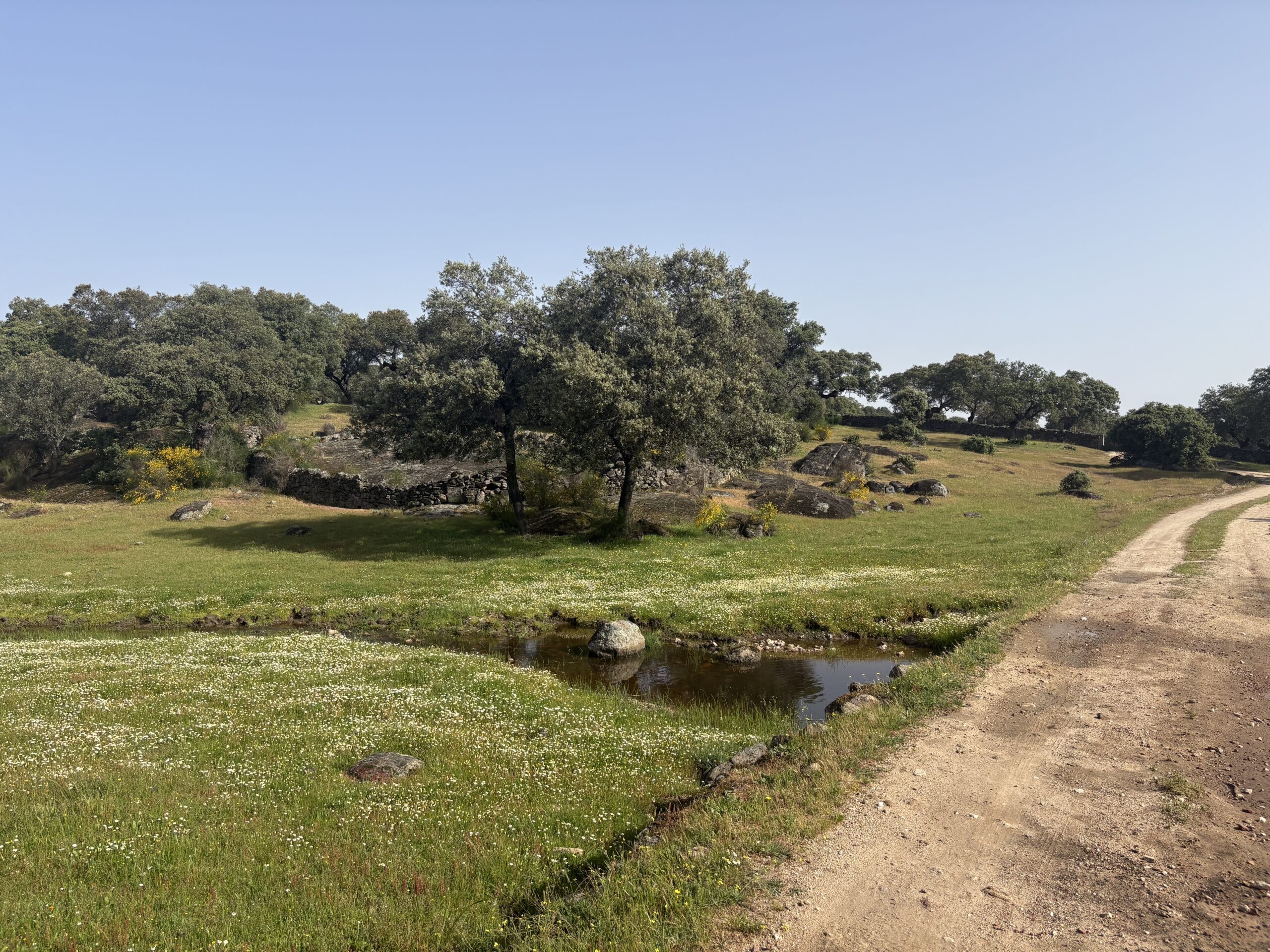
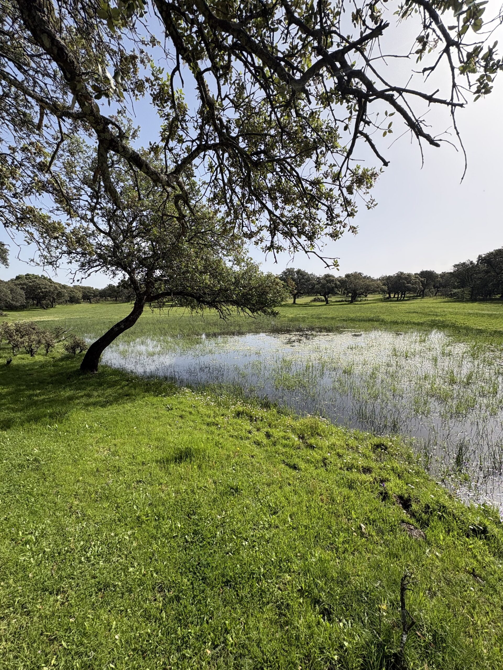
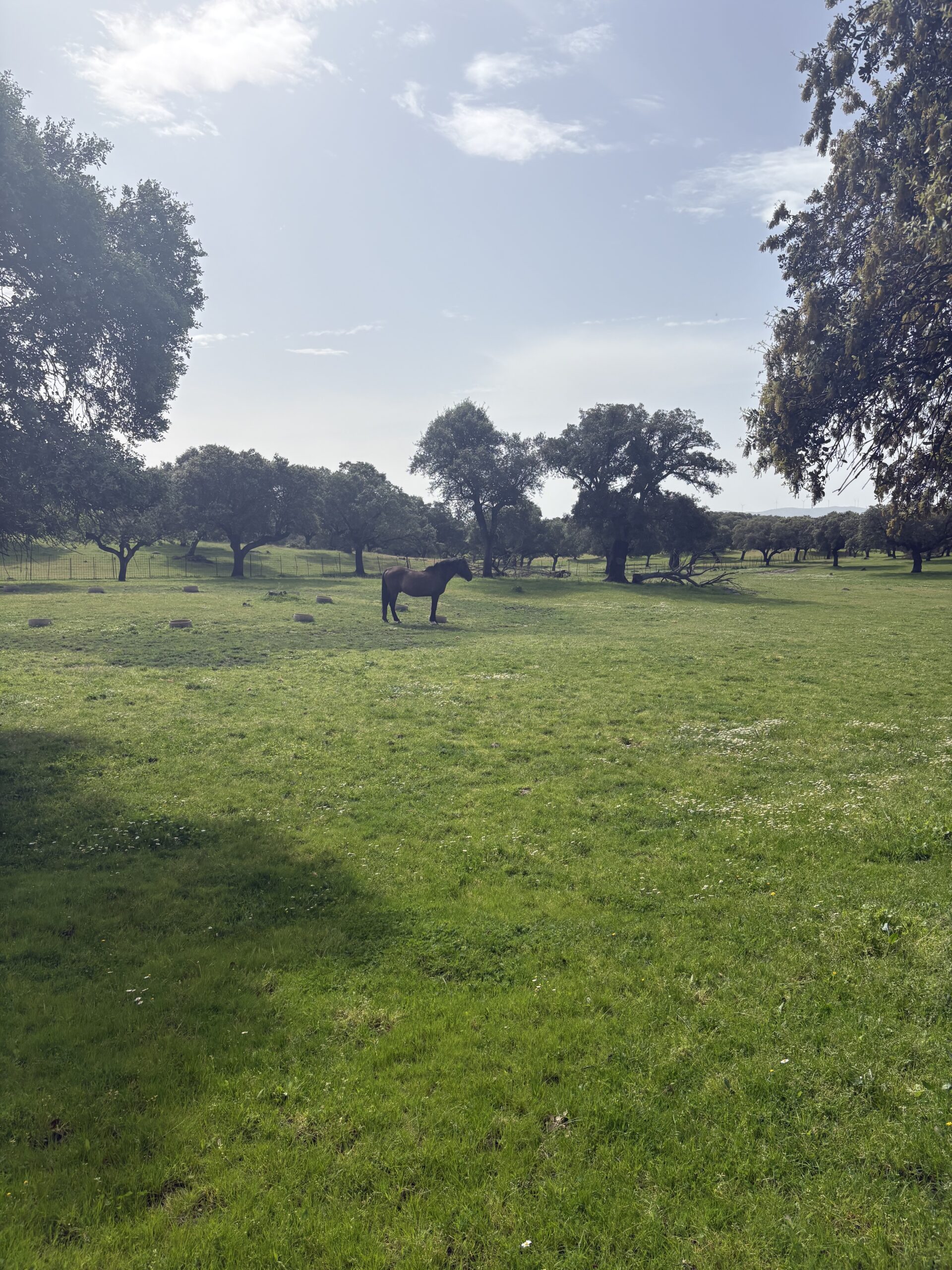
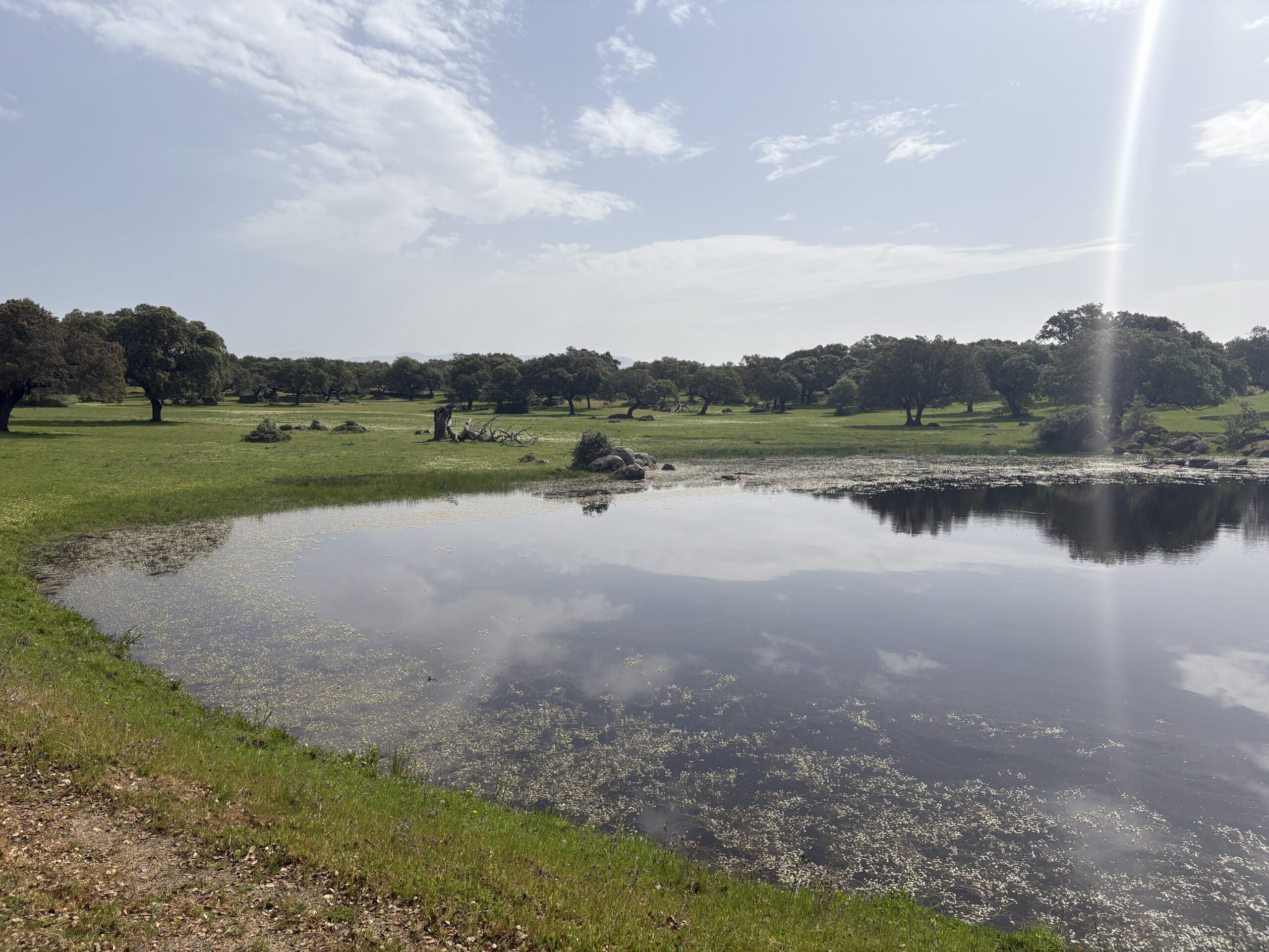
After a while the landscape changed from the agricultural area to dehesa, the characteristic Iberian landscape: open woodland with scattered holm oaks used for grazing livestock, farming, and forestry. What was different was that along the way there were enormous rocks, which made the landscape scenic and mythical.
These huge boulders are part of what geologists call a granite landscape shaped by erosion, often referred to in Spain as ‘berrocal’. The bedrock is granite, formed deep underground millions of years ago. Over time, weathering, water and temperature changes broke it along natural cracks. This process created the rounded, piled boulders that sometimes balance on top of each other. This process is called spheroidal weathering, basically nature slowly rounding off blocks of stone.
I stopped around midday to rest my feet and drink some water. I realise that even though it seems simpler to carry a water bottle on my backpack rather than a water bladder inside, it also gets hot as it’s exposed to the sun, and I drink way less than I should. I need to remove the rucksack and drink from the bottle, which I do not do frequently. For someone like me, who does not drink enough water normally, the bladder is a better solution.
I met a cyclist who is going to Santiago. After completing at least 200 consecutive kilometres of cycling or horse riding, one is entitled to the certificate of completion. She mentioned that she will continue cycling home from Santiago, as she has three months of vacation. I asked her where that is, and she answered, ‘The Netherlands.’ Apart from the steep climbs, a Dutch woman must be well-prepared for such a long bike ride, I noted.
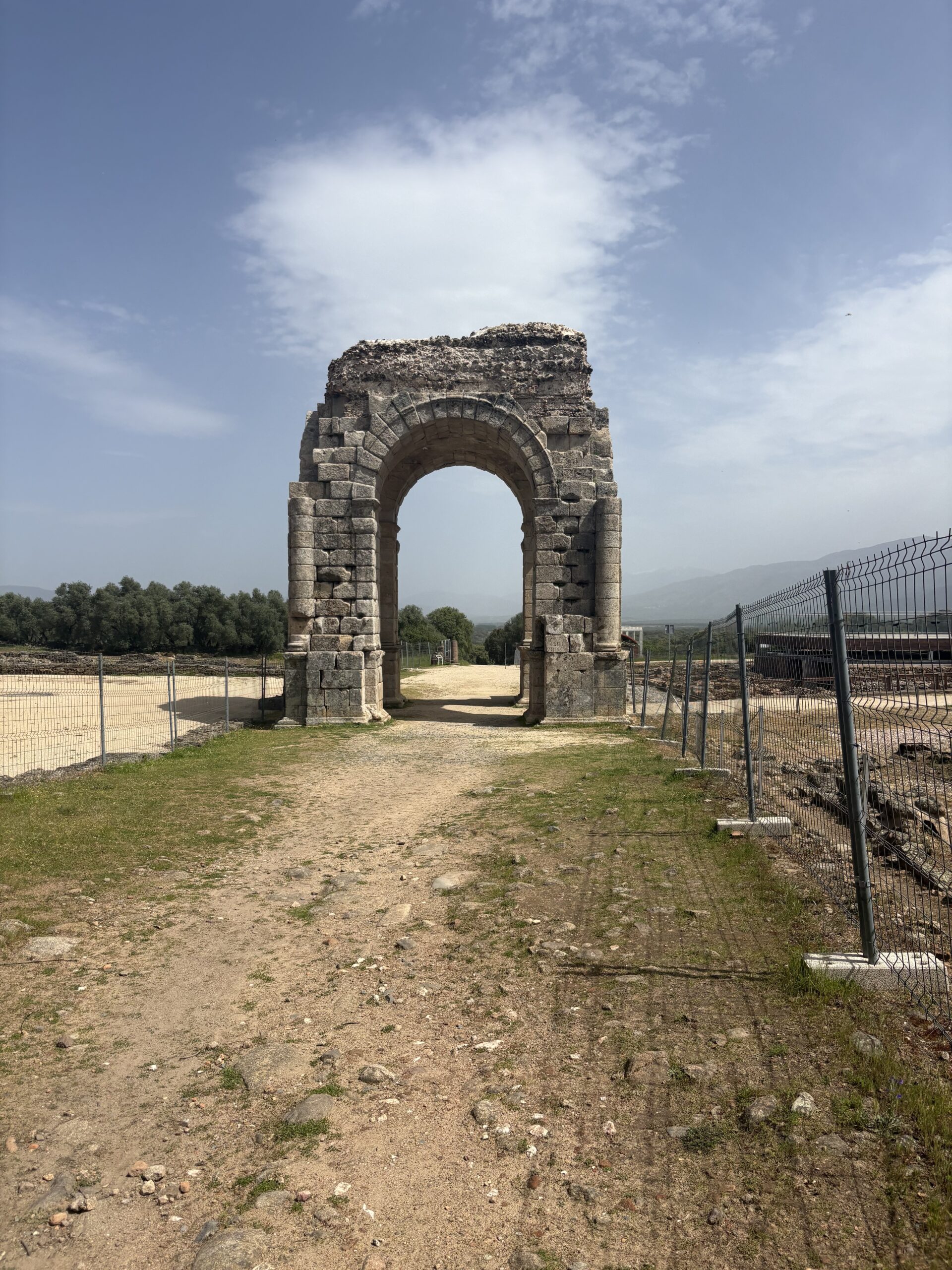
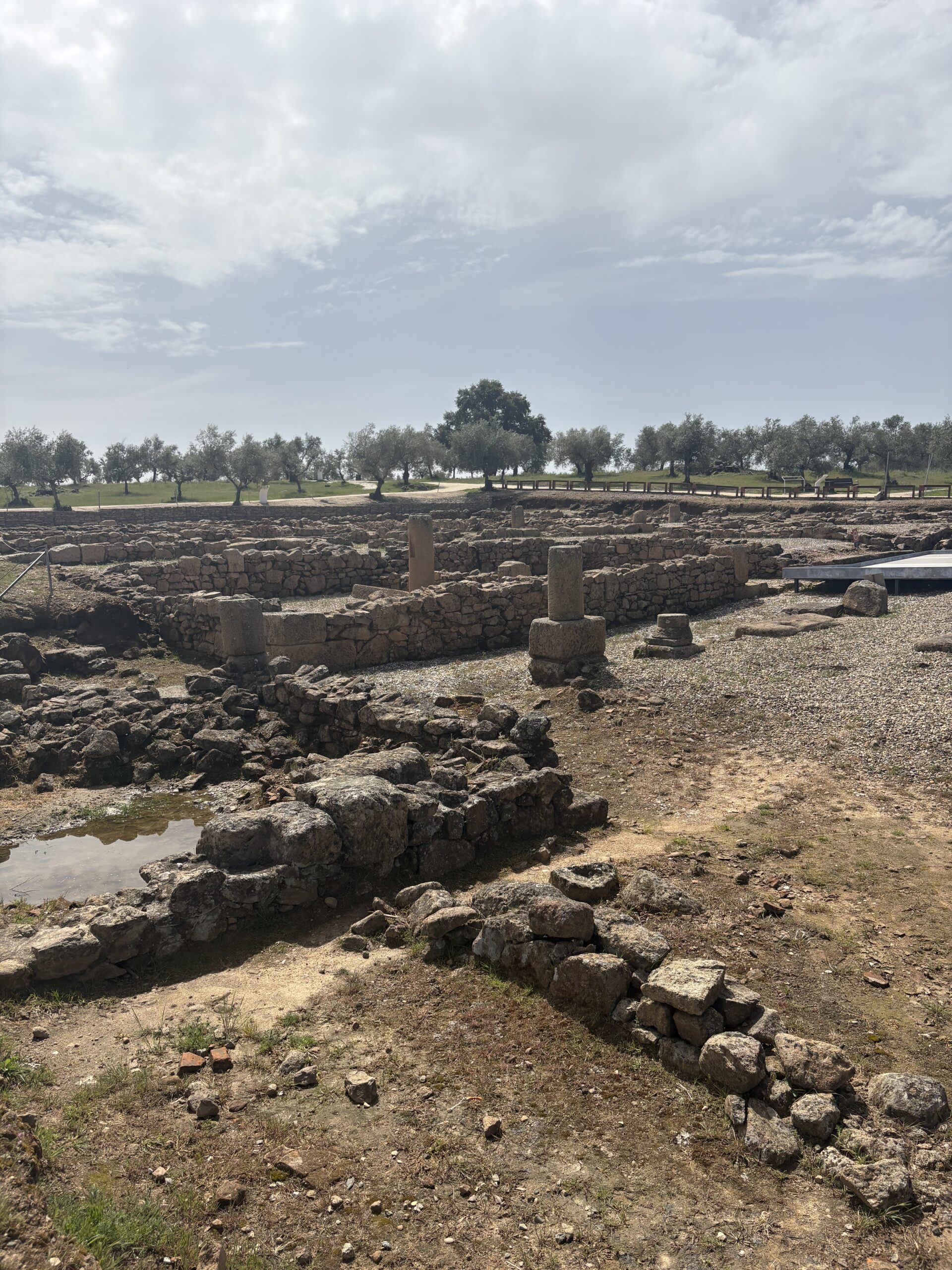
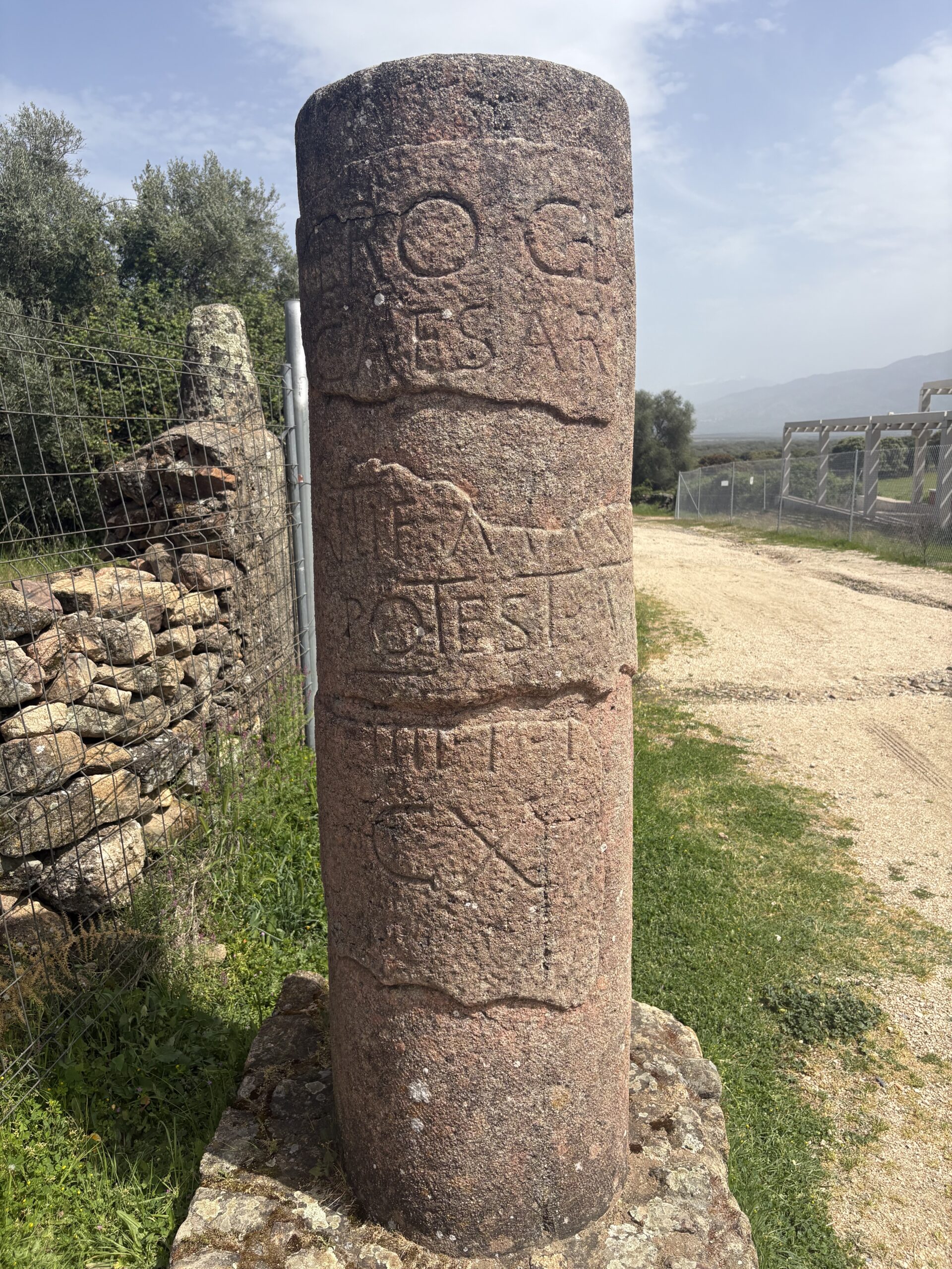
At 14:00, I arrived at Cáparra, one of the most interesting Roman archaeological sites in Extremadura. Its strategic position along this road allowed the city to flourish as a center of commerce and communication during the Roman period.
Founded in the 1st century AD and later granted the status of municipium under Vespasian, Cáparra developed into a modest but significant urban settlement. Like many Roman towns, it was carefully planned, with a grid layout organised around two principal streets, the cardo and the decumanus, which intersected at the heart of the city. The most distinctive feature of Cáparra is its remarkable four-sided arch, a rare example of a tetrapylon and unique in Spain. Standing at the crossing of the city’s main streets, this monument once served both a symbolic and practical purpose, marking the civic centre while celebrating Roman authority.
I had to depart from the Camino route for the last 6 km, because the hostel I found was a truck stop next to the motorway close to the village Jarilla.
I arrived at the hostel shortly after 16:00. After a quick shower I gave them all my dirty clothes for laundry. Finally, I had some fish and olives to eat and some time to rest.
Daily spending:
€6.30– breakfast
€6 – laundry
€15.90 – refreshments, snacks
€12 – dinner
€34.50 – accommodation